SLAM navigation and how it impacts robotics
SLAM navigation offers a solution to one of the biggest challenges in developing autonomous robots: the ability to move, orient themselves, and adapt to their surroundings without external input. Thanks to technological advances, these robots are interacting with the world around them with increasing precision, improving their ability to operate independently.
In this article, we explain what SLAM navigation is, the technologies that make it possible, and the sectors that use it. You’ll also find a real-world application in industrial logistics.
What is SLAM navigation?
In robotics, SLAM stands for simultaneous localization and mapping. This technique enables robots and autonomous vehicles to estimate their position and a map of their surroundings simultaneously using data gathered from their sensors. This estimation is continuously updated as the robot moves — no preloaded map is required.
One key challenge of autonomous robotics is achieving automatic movement and task execution in changing, unfamiliar environments. SLAM navigation allows machines to operate without a predefined map, adapting to the conditions around them in real time.

How does SLAM navigation work?
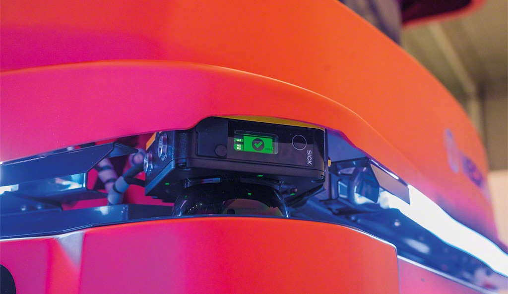
One of the first steps in SLAM navigation is collecting data through sensors that capture information about the robot’s position and surroundings. This technology includes cameras, advanced imaging sensors, LiDAR laser scanners, sonars, or any device that measures variables such as distance. SLAM also leverages statistical methods and algorithms to minimize location errors and support real-time mapping. Ultrasonic sensors are often used to help autonomous vehicles detect nearby obstacles.
Once the sensors have collected the data, software processes this information to identify reference points in the environment. There are many types of programs and algorithms for this task, ranging from simple systems to complex scan-matching processes. However, they all share the same goal: to interpret sensor data to build a map of the surroundings and help the robot determine its location.
SLAM navigation generates a map of the space and estimates the machine’s position. It calculates the device’s initial location, and as it moves, continuously collects new data from onboard sensors. By repeating these steps continually, the system can track the robot’s path and create increasingly detailed maps. Depending on the approach and SLAM localization algorithm used — e.g., FastSLAM, ORB-SLAM, or Hector SLAM — highly accurate metric maps or topological maps can be generated. Additionally, by combining sensor data with artificial intelligence (AI), robots can analyze their environment and make informed decisions in real time.
For SLAM navigation to work effectively, all components must work in coordination: sensors, software, the vehicle, and other processing systems. While the specific technology may vary depending on the application, all elements must integrate seamlessly to achieve reliable navigation.
SLAM technologies: LiDAR and vSLAM
SLAM technology acts as the “eyes” of the robots, enabling them to interpret the surrounding space and determine their location within it. Two techniques are commonly used:
- LiDAR. Highly valued for their precision, LiDAR sensors have been developed, tested, and optimized over time. They measure distances using laser pulses and can perform reliably even in low-light environments.
- Visual SLAM (vSLAM). Instead of lasers, the vSLAM algorithm uses cameras to capture and process images of the surroundings. These systems can adapt to a wide range of conditions, from well-lit spaces to dynamic settings.
Each approach offers specific advantages to the SLAM system. The choice depends on the work environment, the robot’s requirements, and the desired level of accuracy.

Where is the SLAM system used?
As components that facilitate intelligent robotic navigation continue to develop, the SLAM system is being implemented across a growing number of sectors. Some applications are already in use, while others represent a future where the physical and digital worlds seamlessly integrate:
- Autonomous vehicles. SLAM technology is crucial for self-driving cars. It allows for safe navigation, real-time obstacle detection, route optimization, and adaptability to changes in urban and highway settings.
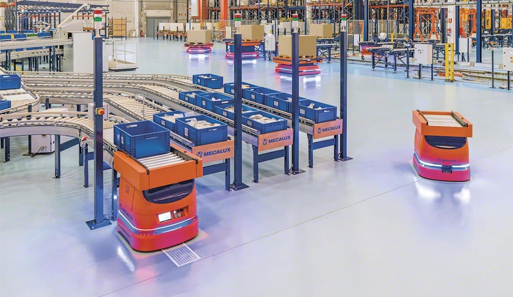
- Industrial AMRs (autonomous mobile robots). SLAM navigation is also used in robots operating in warehouses and factories to transport materials, avoid collisions, and adjust to changes within the facility.
- Cleaning. Cleaning robots navigate their assigned areas in homes, offices, hospitals, and industrial sites, identifying and avoiding obstacles without human intervention.
- Archaeology and mining. Ground robots and drones equipped with SLAM navigation sensors map dig sites and mines. They explore hard-to-access terrain and generate 3D maps without excavation.
- Medicine and surgery. SLAM algorithms assist in minimally invasive surgeries by enabling precise navigation of instruments inside the human body.

SLAM in logistics
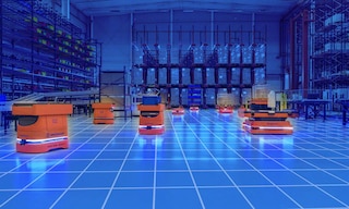
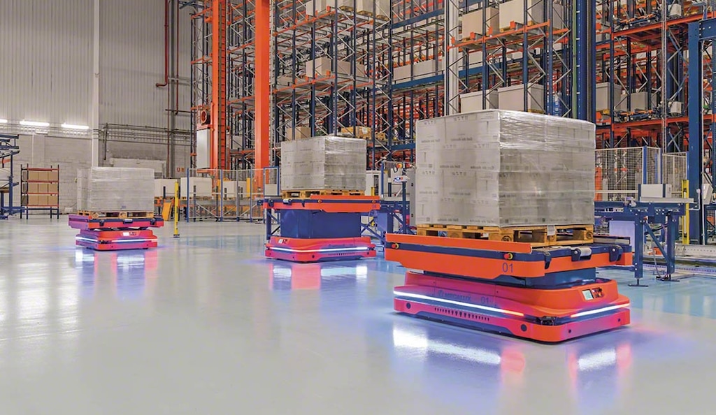
One SLAM navigation example in logistics is autonomous mobile robots (AMRs). They use the technology to move safely and efficiently through warehouses. These vehicles respond to changes in their surroundings, supporting advanced warehouse management. They are responsible for transporting loads from one point to another. The robots do this without external assistance, following dynamic routes generated by software that optimizes their movements.
Two types of digital systems are typically involved in AMR operations. Fleet management software coordinates and oversees robot movements in real time. Meanwhile, the warehouse management system (WMS) organizes logistics operations such as inventory putaway, task assignment, and order planning. These two solutions communicate with each other to ensure a smooth, disruption-free workflow.
Interlake Mecalux’s mobile robots are equipped with a LiDAR scanner to explore their surroundings and ultrasonic sensors to detect objects at ground level. Using SLAM technology, they can generate dynamic maps and avoid obstacles, increasing flexibility and productivity in complex logistics operations.
SLAM navigation marks a major step forward in the development of autonomous robots capable of operating safely in real-world environments without constant supervision. By coordinating sensors, algorithms, and software, this technology enables machines to adapt dynamically to complex scenarios — from logistics and medicine to exploration. As SLAM algorithms continue to evolve and integrate with AI, their applications will likely expand even further, paving the way for smarter and more autonomous robotics.
SLAM navigation in 5 questions
What is SLAM navigation?
SLAM navigation (simultaneous localization and mapping) is the method robots use to map their environment and determine their position within it. This process happens in real time: as the robot moves, it builds and updates the map on the fly.
How does SLAM technology work?
The system collects data from the surrounding environment using sensors and processes it with algorithms capable of identifying key features. It simultaneously creates a map and determines the robot’s position within it. As the robot moves, both its location and the map are continuously updated.
What is LiDAR and how is it used in SLAM navigation?
LiDAR is a sensor that measures distances using laser pulses to create accurate maps of an environment. In SLAM robot navigation, it enables the machines to localize (determine where they are) and navigate — even in low-light conditions — by generating maps in real time.
What is vSLAM?
vSLAM navigation uses cameras to capture and process images of the surrounding space, allowing robots to locate themselves and build a visual map of their environment. It adapts well to various settings, from well-lit areas to dynamic, fast-changing environments.
Where is SLAM navigation used?
SLAM navigation is utilized across industries like logistics, cleaning, mining, and healthcare. It’s also indispensable for autonomous vehicles and augmented reality applications. Its versatility is broad: from obstacle-avoiding home and office cleaning robots to drones mapping archaeological sites and mobile robots optimizing warehouse routes.
